SPM3D
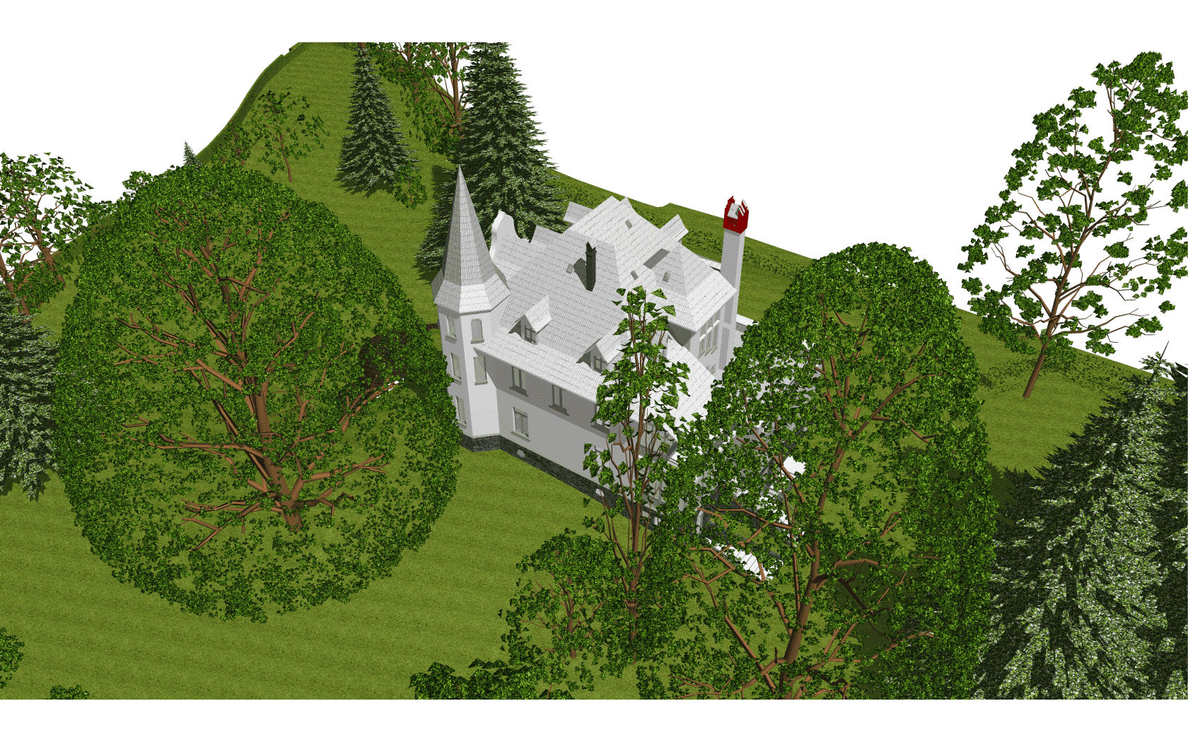
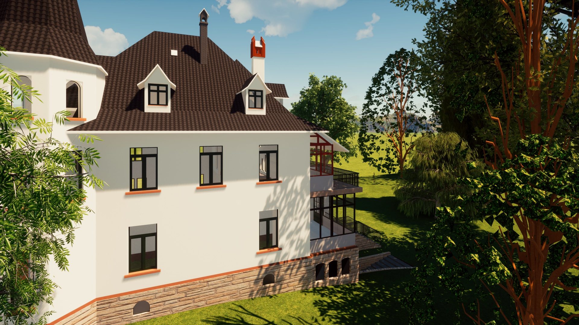
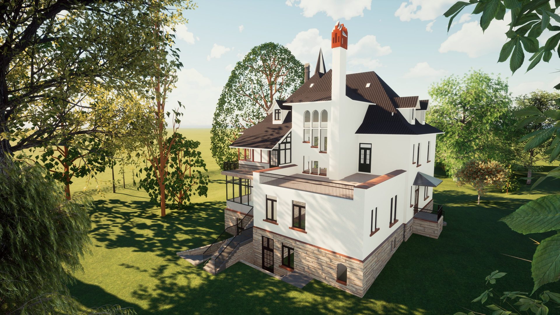
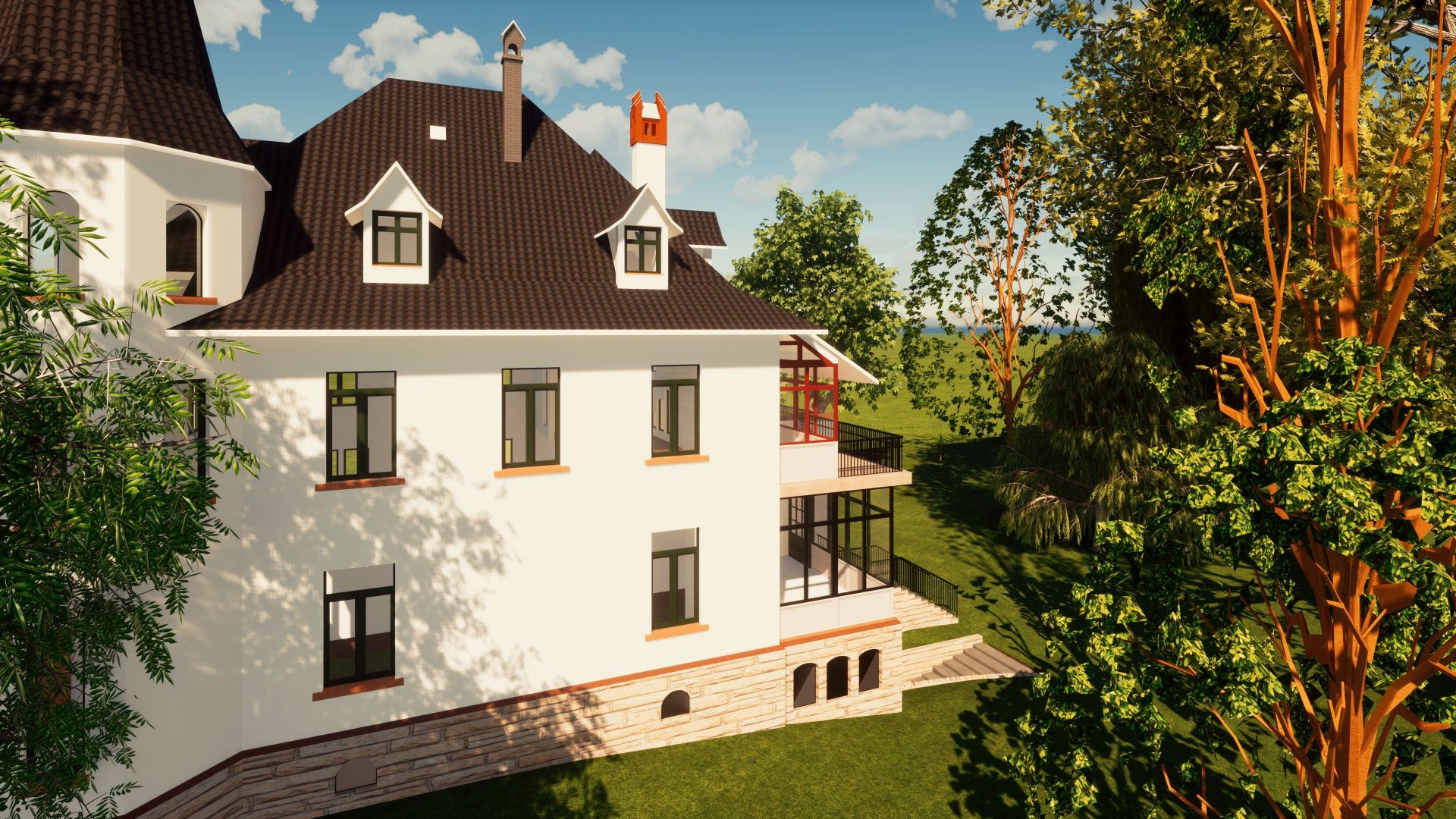
The position of the trees, diameter of their trunks and their heights represent reality
Owner of this villa wants to have a good 3d- visualization of his parcel terrain (area 7’400sqm). Data was captured with DJI phantom 4 RTK drone.
The project was split into two parts. The first is to create a point cloud from the raw data using photogrammetry software. The second is to make an accurate model that includes the house, all trees and bushes with real trunk diameters, heights and tree species.
Final results include a detailed 3D ArchiCAD model of the exterior part of the building and the surrounding area.
#3d modelling
LOCATION:
Some country in the alps
TIME SPENT:
14 days for processing
Final Product: