// PROJECT OVERVIEW
BIM and CAD model from laser scanning and photogrammetry
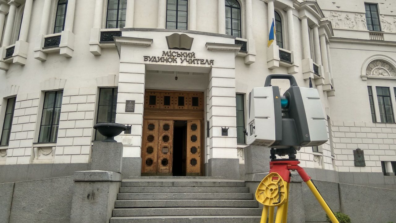
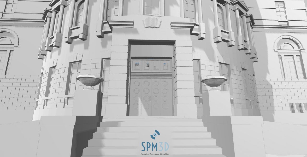
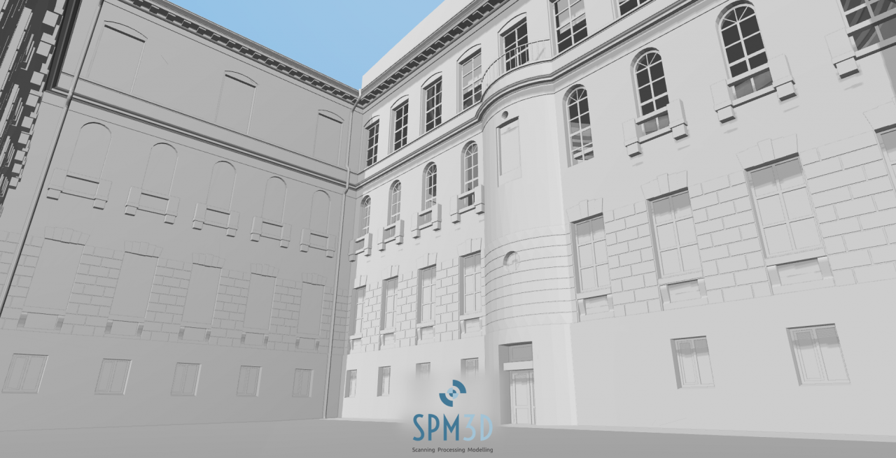
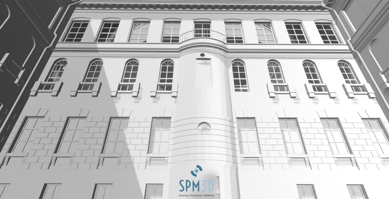
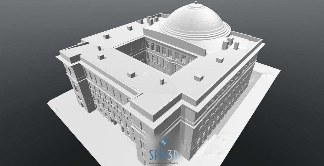
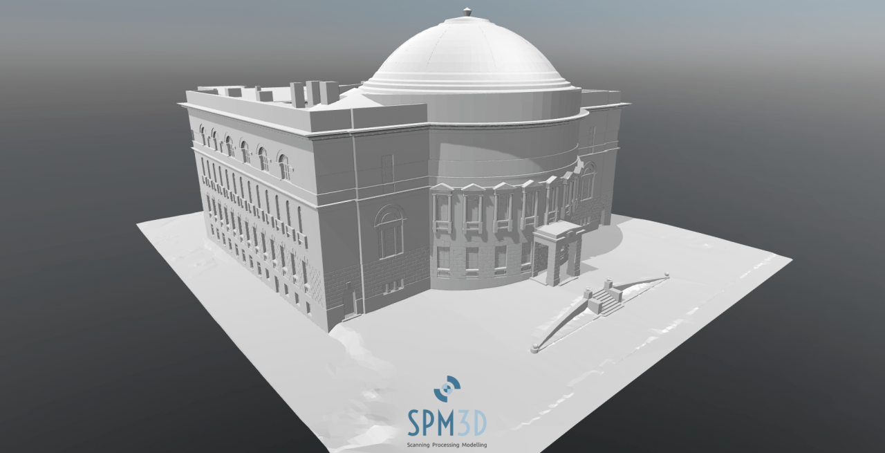
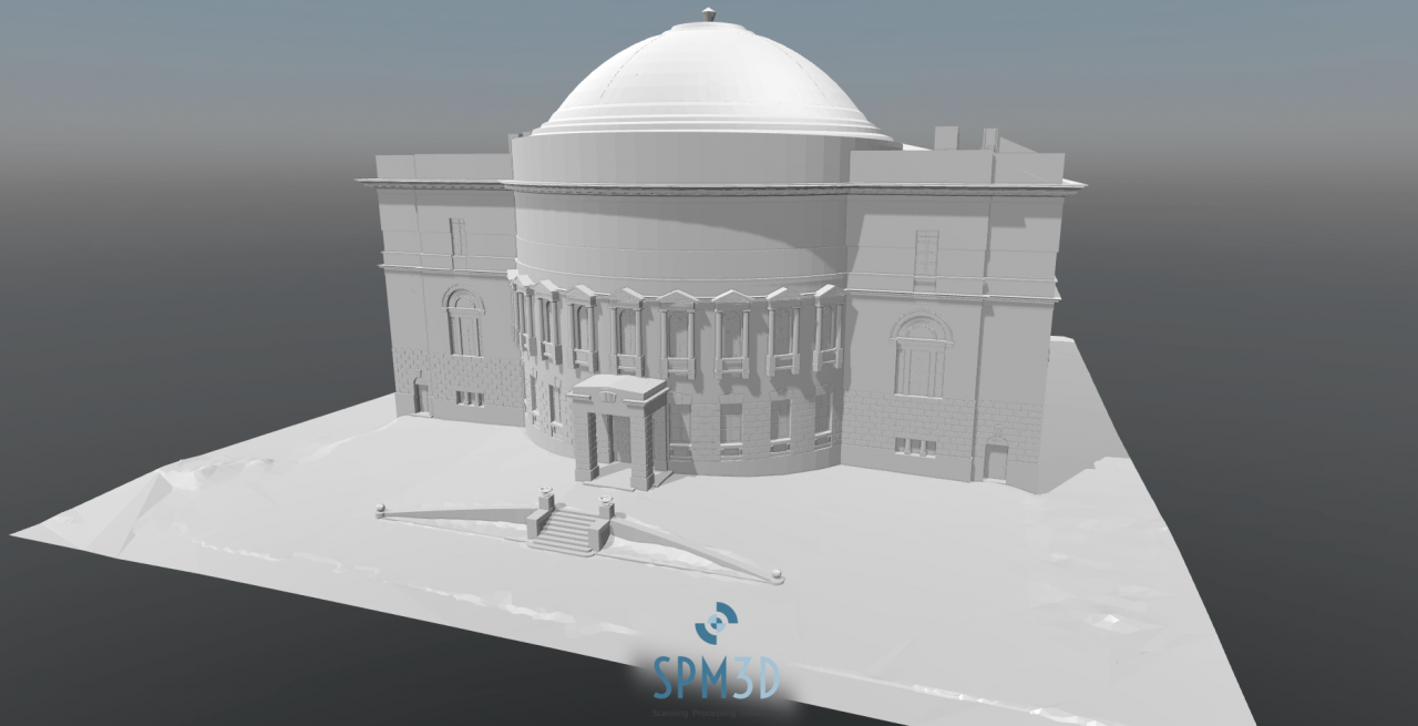
SPM3D documented the Teacher House in Kyiv using terrestrial laser scanning with a Leica ScanStation P40. To cover roof surfaces and upper areas that are difficult to capture fully from ground scanning alone, the field work also included a photogrammetric survey with a DJI Phantom 3 Pro.
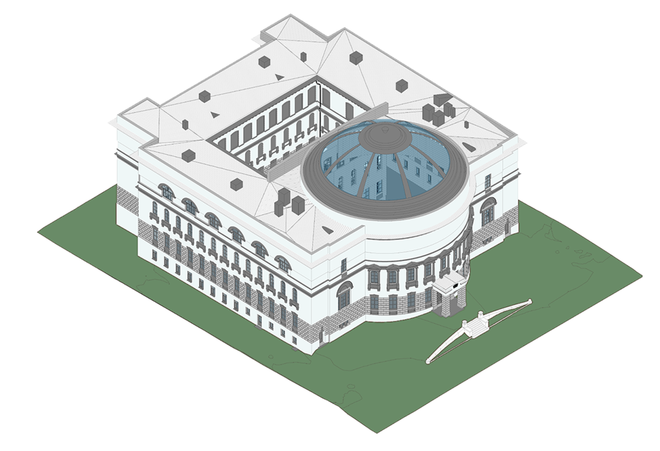
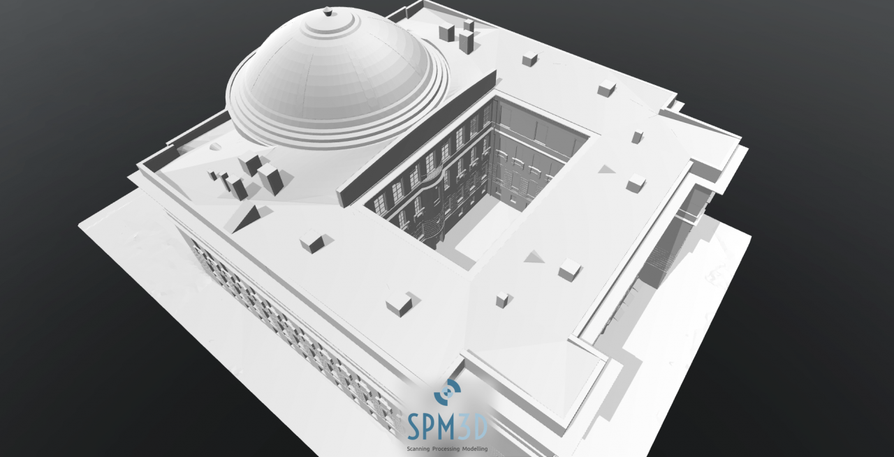
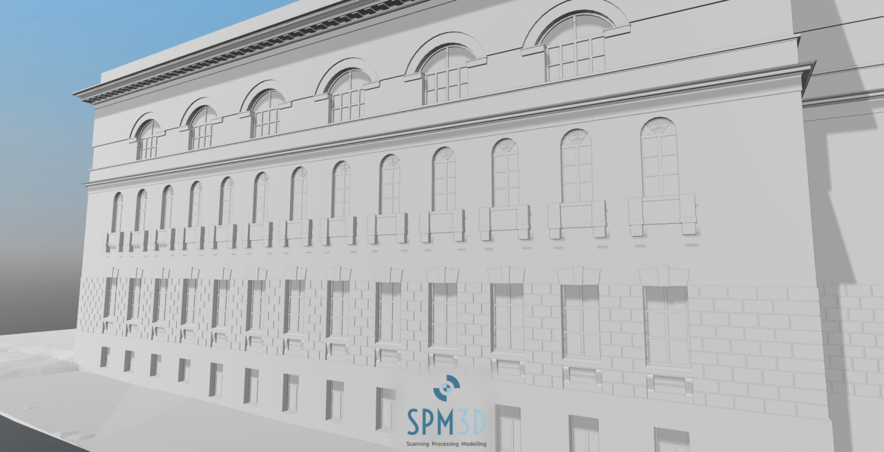
The scan and photogrammetry data were processed into a coordinated model base and then reconstructed in Autodesk Revit. The modelling workflow focused on delivering reliable architectural geometry for the building envelope, roof, facade details and surrounding context.
The project schedule included 1 day for laser scanning, 1 day for the photogrammetric survey and 10 days for processing. The final products were a BIM model and a CAD model of the building.