Point-cloud deliverables for infrastructure teams.
We support roads, bridges, tunnels and civil structures with scan-based documentation, 3D modelling and geometry analysis.
Large Sites
Point clouds can be structured, tiled and processed for heavy civil and linear assets.
Structural Review
Sections, profiles and comparisons help engineers understand deformation and clearance.
CAD/GIS Handoff
Outputs are prepared for civil CAD, GIS or BIM workflows as required.
Profiles and Sections
Measured cuts through bridges, roads, terrain or structures.
3D Models
Scan-based geometry for coordination and asset records.
Analysis Reports
Deformation, deviation and clearance visuals for engineering review.
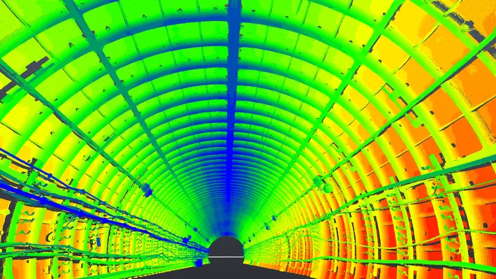
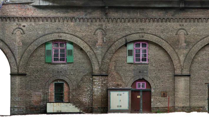
Point cloud deliverables for bridges, tunnels and transport assets.
Infrastructure projects need reliable measured geometry across long, complex and safety-critical assets. SPM3D prepares profiles, sections, orthophotos, deformation maps and CAD drawings from terrestrial scans and photogrammetry.
The same data can support inspection, rehabilitation design, clearance checks, deformation monitoring, asset documentation and comparison with reference profiles or project drawings.