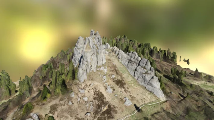
Point-cloud processing deliverables shaped for production teams.
We clean, structure, classify, register and prepare point clouds so survey and design teams can use the data confidently.
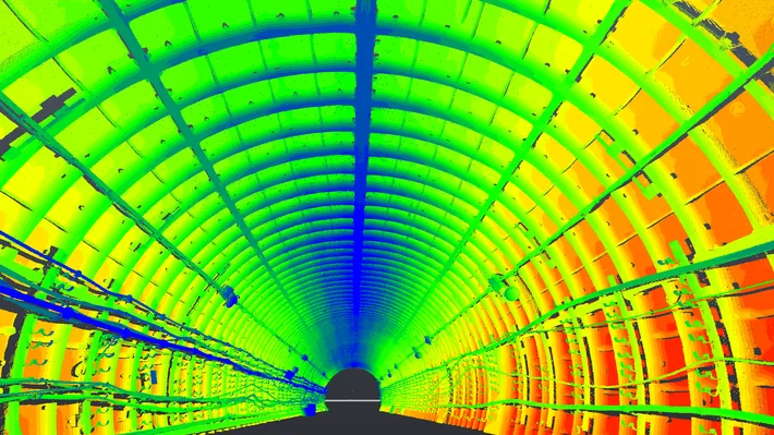
Registration Support
Scans can be aligned, checked, indexed and prepared for modelling or client delivery.
Classification
Ground, structure, vegetation or object classes are separated when the downstream workflow needs cleaner data.
Optimized Files
Large datasets are tiled, decimated or exported into E57, LAS/LAZ, RCP/RCS or other practical formats.
Data Intake
We inspect coverage, noise, coordinate system and file health before processing.
Processing
The cloud is cleaned, unified, classified or segmented according to project requirements.
Packaging
Final files are named, indexed and documented for easy handoff to CAD, BIM, GIS or analysis tools.
Point cloud preparation for downstream CAD, BIM, analysis and mapping.
Before a point cloud can become a reliable deliverable, it often needs registration review, cleaning, classification, decimation, coordinate-system work and export into the right format. We prepare scan data so design and survey teams can use it without fighting the raw dataset.
The workflow supports E57, LAS/LAZ, RCP/RCS and other common formats. We can deliver cleaned clouds, classified terrain, scan coverage checks, slices, sections and optimized data packages for remote collaboration.