Point-cloud deliverables for surveying and mapping teams.
We act as remote processing capacity for survey teams, turning captured data into clean clouds, terrain, CAD, BIM and photogrammetry outputs.
Back-Office Capacity
Surveyors can send raw or registered data and receive production-ready deliverables.
Format Flexibility
Outputs can be prepared for CAD, BIM, GIS, point-cloud viewers or client handoff.
Quality Control
Processing includes checks for coverage, noise, alignment and deliverable completeness.
Processed Clouds
Cleaned, classified, tiled and indexed point-cloud datasets.
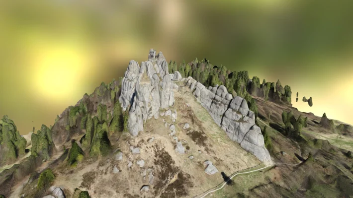
Terrain Deliverables
DTM, contours, sections and surface models where required.
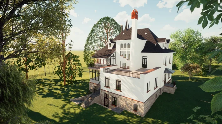
CAD/BIM Outputs
Drawings and models created from survey data.
Remote processing capacity for survey and mapping teams.
Surveying companies often need reliable production support after field capture: registration, classification, terrain modelling, contours, CAD sections, orthophotos and point cloud preparation for delivery.
SPM3D can work as an overflow processing team, turning raw or registered data into client-ready outputs while preserving coordinate systems, formats and mapping standards.