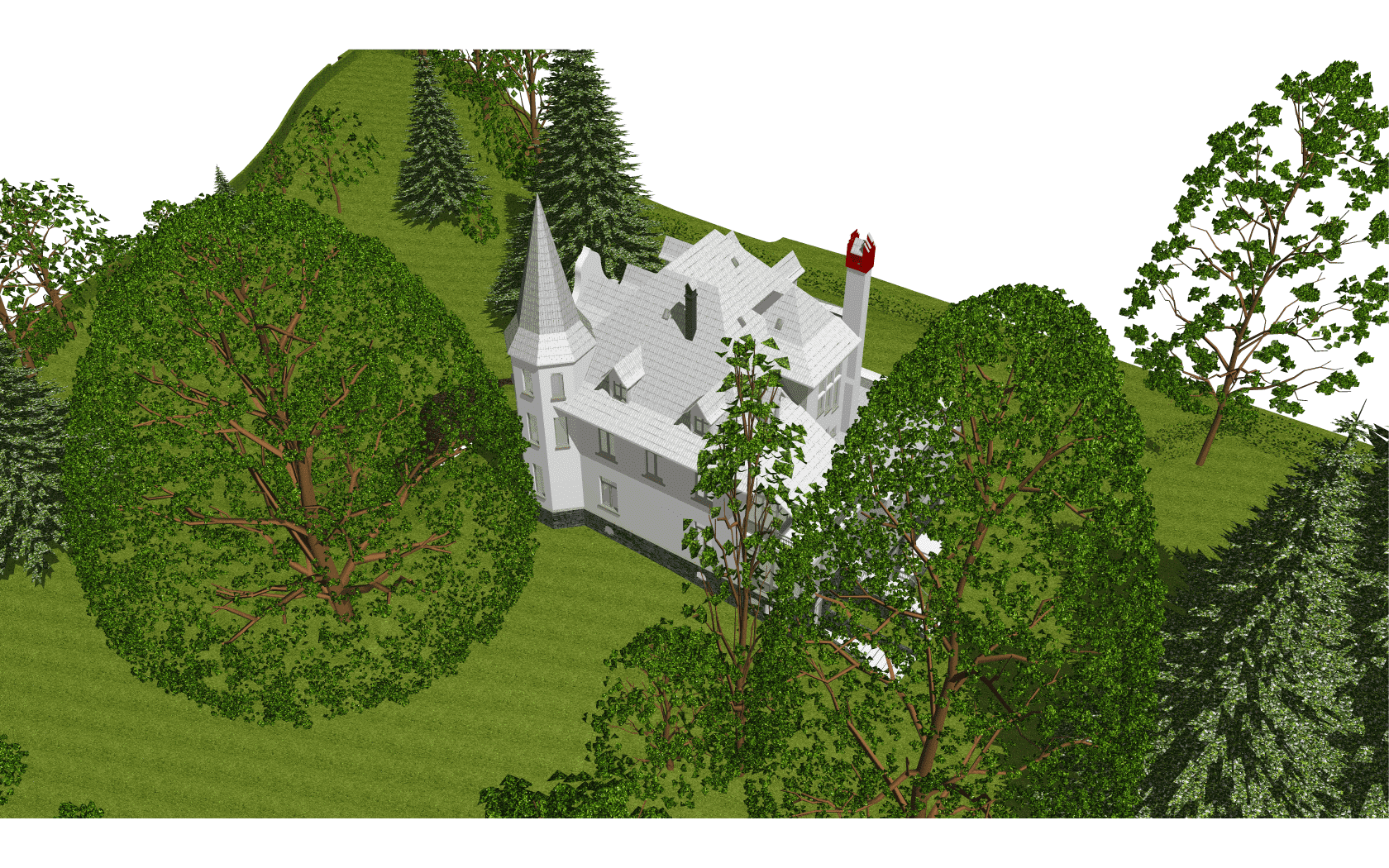
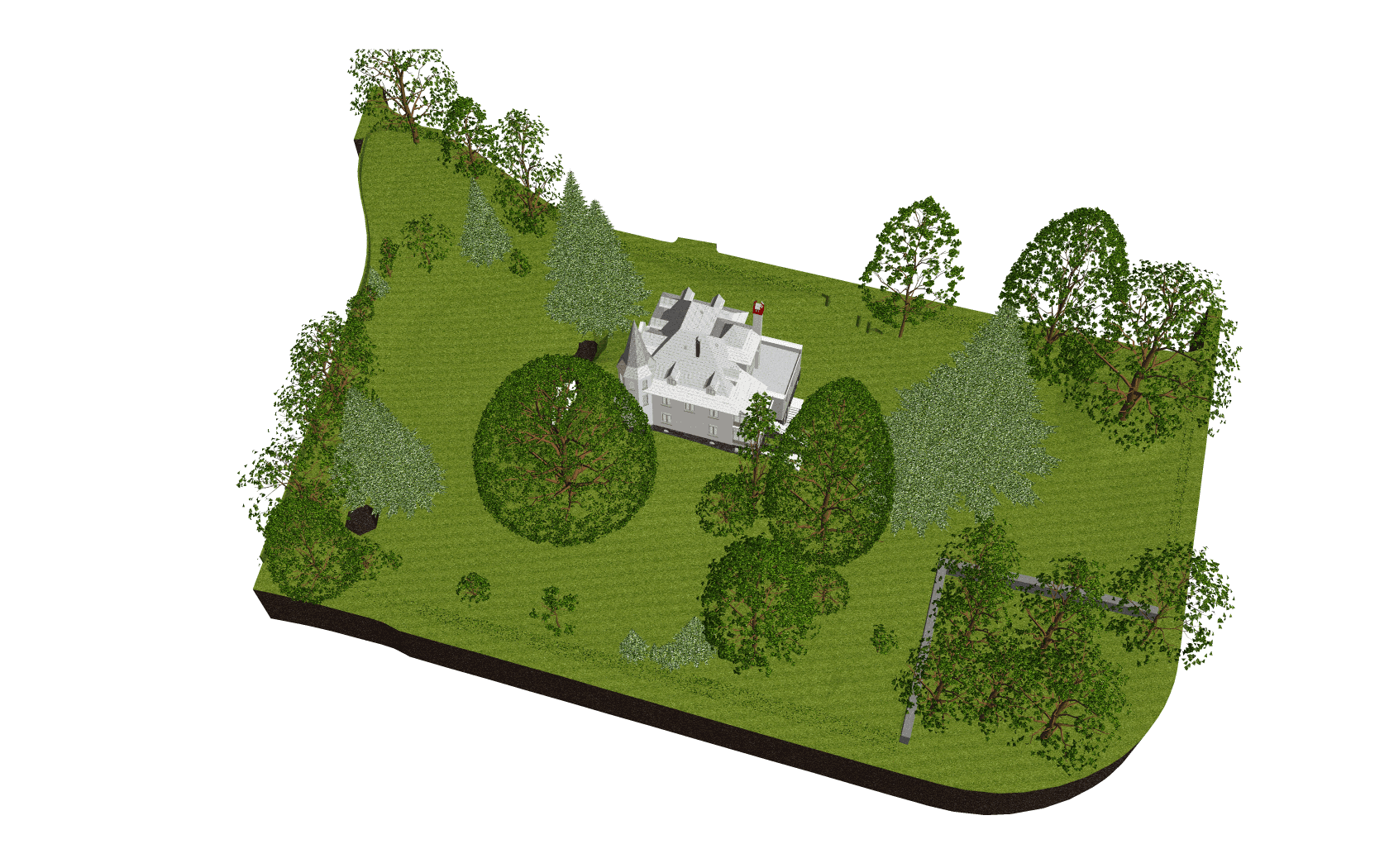
Detailed ArchiCAD terrain model for site planning
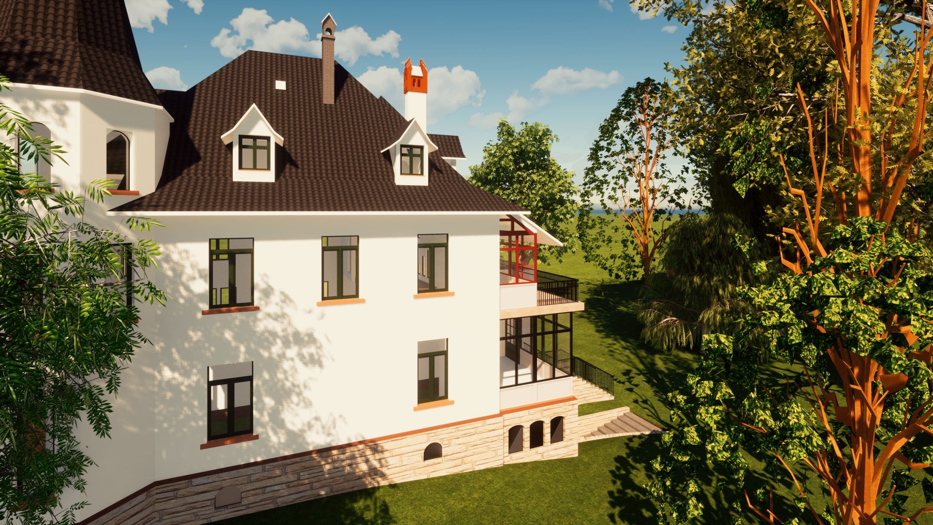
This project converted drone survey data for a 7,400 sqm villa parcel in the Alps into a detailed ArchiCAD 22 terrain model. The original data was captured with a DJI Phantom 4 RTK drone, then processed into a point cloud and transformed into a usable design model for architecture, site planning and visualization.
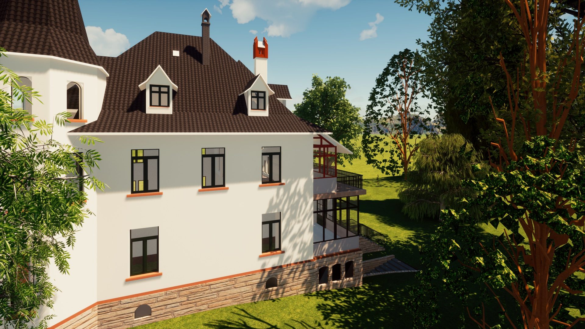
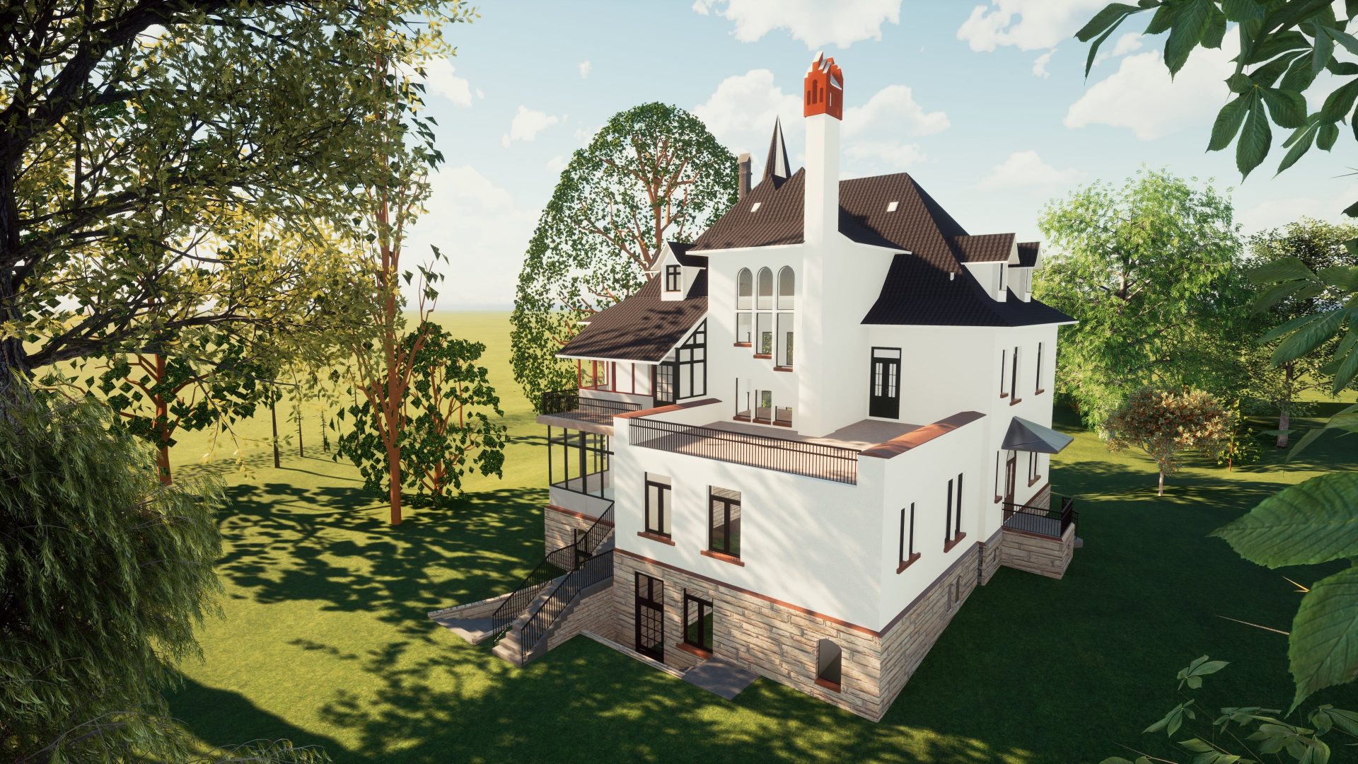
The model included the exterior of the house, accurate terrain, trees, bushes and site vegetation. Tree positions, trunk diameters, heights and species were represented to match reality, giving the owner and design team a reliable digital context for studying access, landscape, cut-and-fill and future design decisions.
Final delivery was an ArchiCAD 22 LOD 300 model produced after 14 days of processing, ready for architectural coordination and realistic site visualization.