Photogrammetry deliverables shaped for production teams.
We process drone and camera imagery into aligned imagery, dense point clouds, meshes, orthophotos and textured 3D models.
Dense Clouds
Image sets are aligned and reconstructed into measurable point clouds ready for modelling or analysis.
Orthophotos
Facades, roofs, terrain and heritage surfaces can be delivered as scaled orthographic outputs.
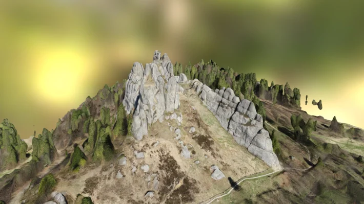
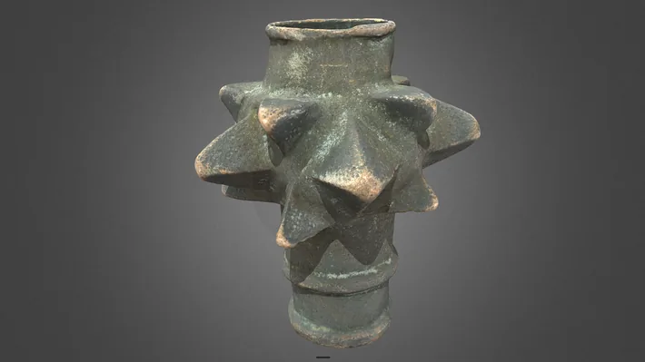
Textured Models
Photorealistic mesh outputs support visualization, inspection and cultural heritage documentation.
Image QA
We review overlap, sharpness, camera data and control before processing to reduce alignment risk.
Reconstruction
Images are aligned, optimized and converted into dense clouds, meshes and rasters.
Export
Outputs are cleaned, scaled and exported in the formats your downstream tools require.
Photogrammetry for textured models, orthophotos and detailed heritage capture.
We process DSLR, drone and close-range image sets into dense point clouds, textured meshes, orthophotos and surface models. Photogrammetry is especially strong when the project needs visual texture, complex natural geometry or detailed cultural heritage documentation.
For best results, we combine strong image overlap, control data and laser-scan references where needed. Deliverables can include OBJ, FBX, glTF, orthophotos, DEM/DSM outputs and interactive 3D models.