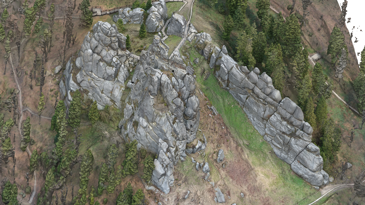
Tustan Rocks historical complex
The Urych Rocks in the Lviv region are closely connected with the medieval Tustan fortress. From the 9th to 16th centuries, this strategic Carpathian defensive point used wooden fortifications fixed into carved artificial paths in the stone. Capturing these marks was the main purpose of the model, because they allow researchers to reconstruct the ancient fortress that existed on the rocks hundreds of years ago.
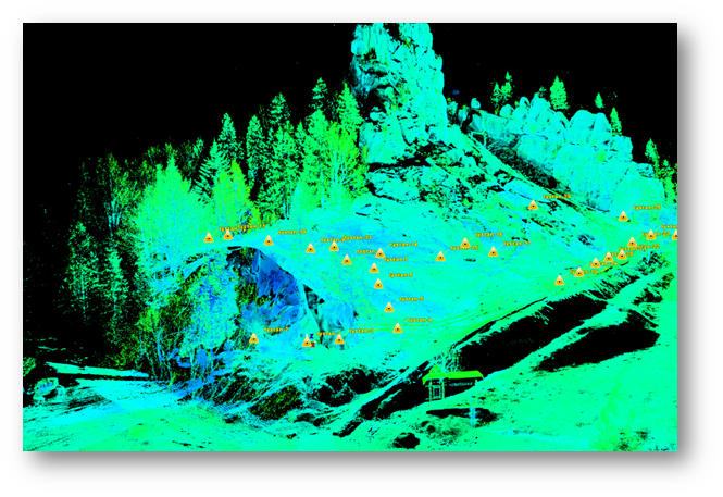
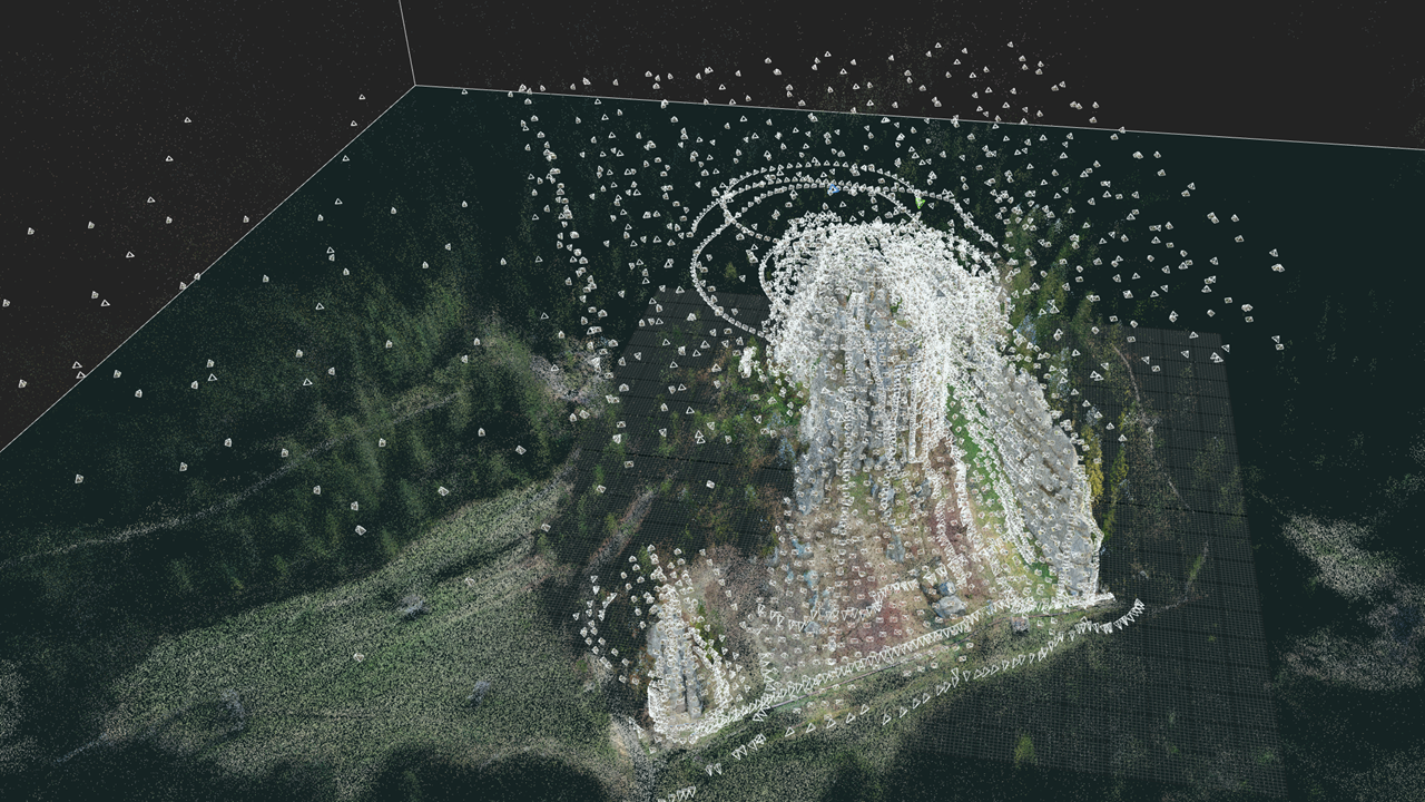
The project was challenging because of the scale of the rocks, steep slopes and dense vegetation. A Faro Focus terrestrial laser scanner was used to scan part of the rocks, and that scan data served as ground truth for later adjustment of the photogrammetric results.
For photogrammetry, SPM3D used a DSLR camera and a DJI Mavic 2 Pro drone, collecting more than 6,000 images from all possible angles. The final image resolution on the rocks ranged from 2 to 30 mm, and the resulting model accuracy was approximately 5-10 mm. Final deliverables included a detailed textured mesh model of the rocks, a digital elevation model and an orthophoto.